
- SagaGIS
- QGIS
- GRASS
Saga GIS
[Workflow for basic terrain-analysis in Saga GIS]01. download Tile (DEM file as gird) on:
https://digital-landscapes.com/academic-work/arctic-studio/
02. go to downloads >>> unzip the folder to Your GIS-Database-Folder
01. download Tile (DEM file as gird) on:
https://digital-landscapes.com/academic-work/arctic-studio/
02. go to downloads >>> unzip the folder to Your GIS-Database-Folder


03. open SAGA-GIS
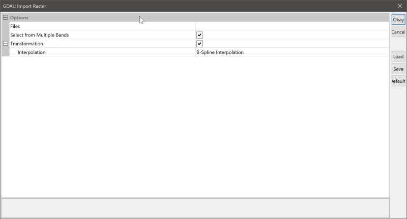
04. go to Tools tab >>> Import/Export – GDAL/OGR
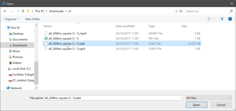
05. Import/Export – GDAL/OGR >>> browse file >>> select .sdat – file in Database-folder
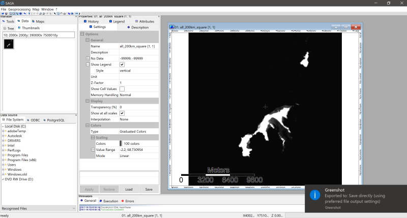
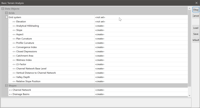
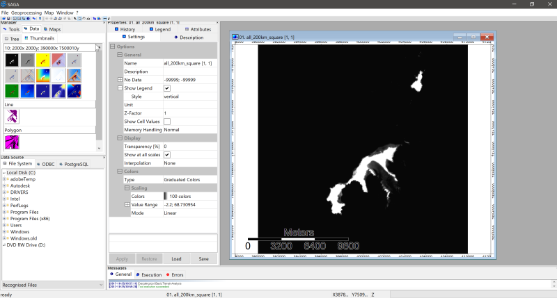
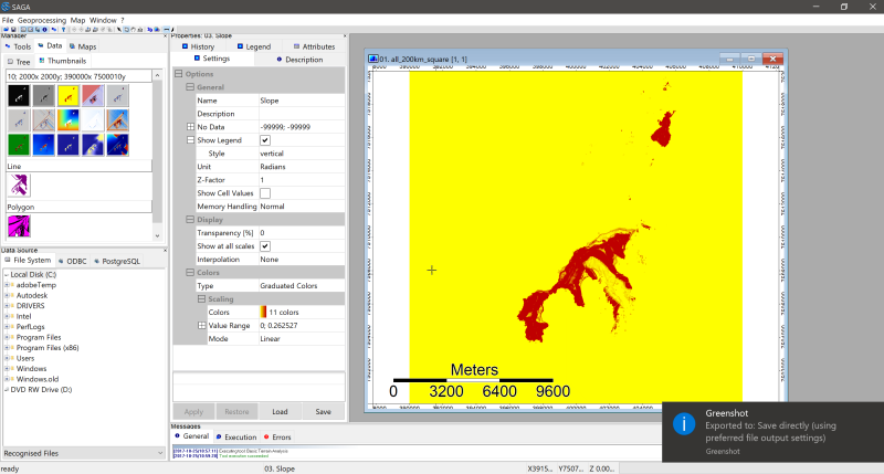
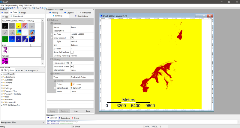
06. switch to Data-tab >>> right click on image >>> “Add to Map”07. switch back to Tools-tab >>> dobble click on Basic Terrain Analysis under the Terrain Analysis – Compound Analysis tab07. select Grid system and Elevation (Input) > create maps (Output) > click OK08. switch back to Data tab >>> right click on images and >>> add to map | or >>> save image to a specific folder location as .png (incl. georeference)
software: opensource GIS: © Saga-GIS
dataset: © https://kartverket.no/
further links:
http://www.saga-gis.org/en/index.html
https://sourceforge.net/projects/saga-gis/
http://www.qgis.org/en/site/
screenshots & workflow by marc ihle
GIS Data Norge
tema data:
http://www.skogoglandskap.no/temaer/Nedlasting_av_kart
https://kartkatalog.geonorge.no/metadata/norsk-institutt-for-biookonomi/corine-landcover-2012-clc-arealdekke/ab61e547-da05-4f4c-8828-9ad87bc20b0b
digital terrengmodell 10 m , UTM 33:
http://data.kartverket.no/download/content/digital-terrengmodell-10-m-utm-33