

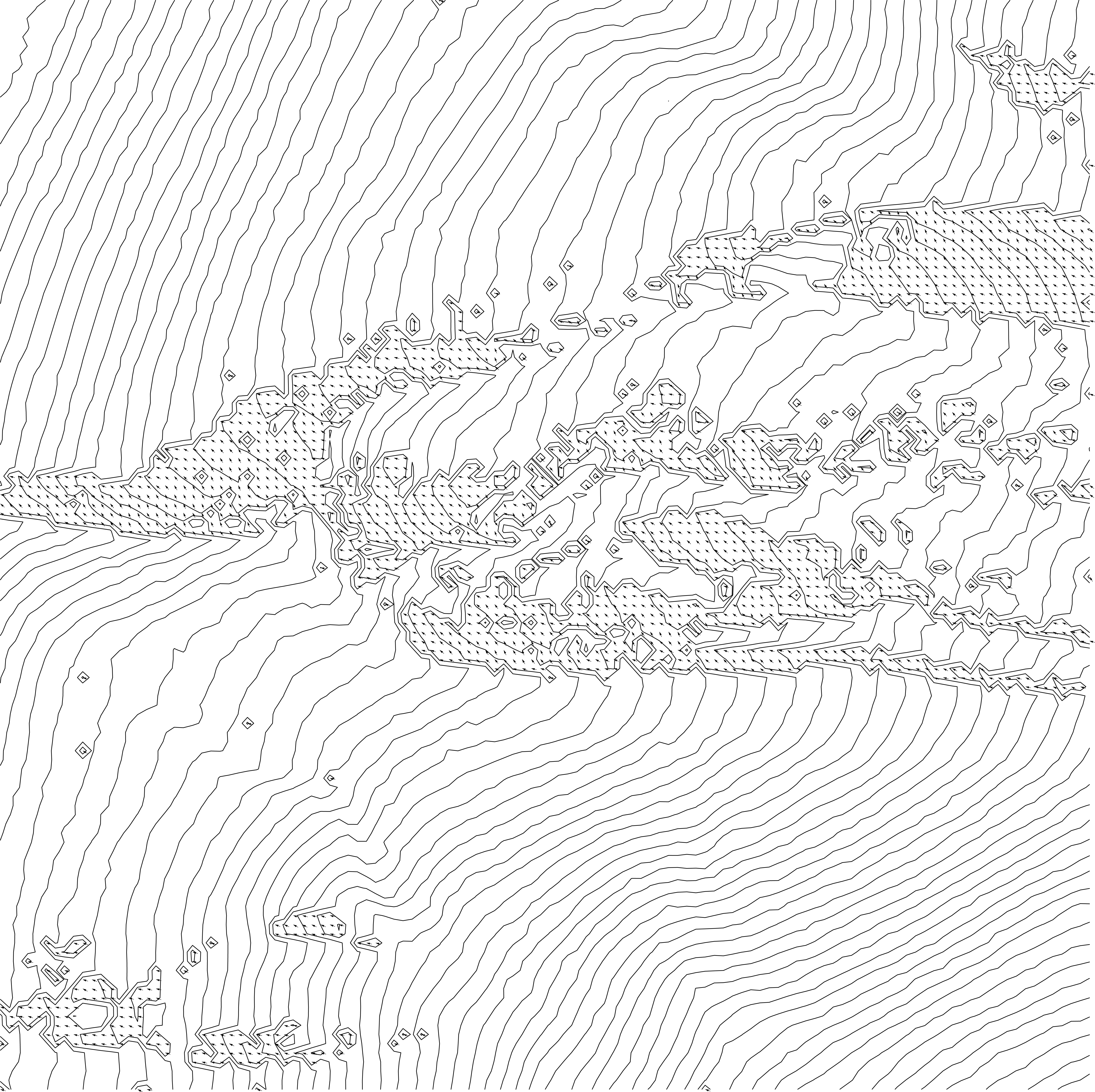
PART II of IV – ’Terrain Design Information & Speculative Trajectories of Natural Dynamic Processes’
Decoding Natural and Articficial Morphometric Features of Svalbard.
Parametric Data Mapping / GIS to CAD / 2d to 3D / Simple Protocols of Transformation, Rotation and Scale
Algorithmic thinking and the use of the visual programming language interface of Grasshopper3d to reinterpret Terrain & Material Conditions at the Mining Site of Svea on Spitzbergen, Svalbard

The work
artefacts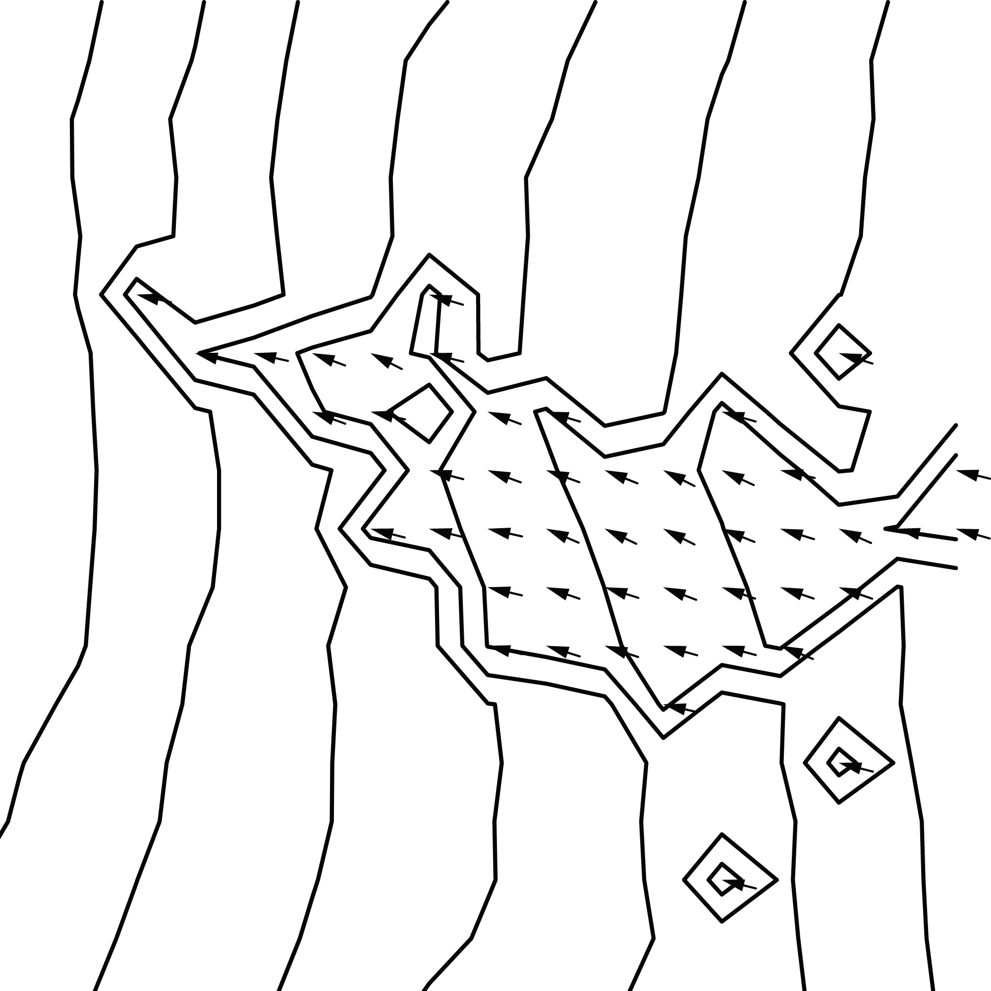
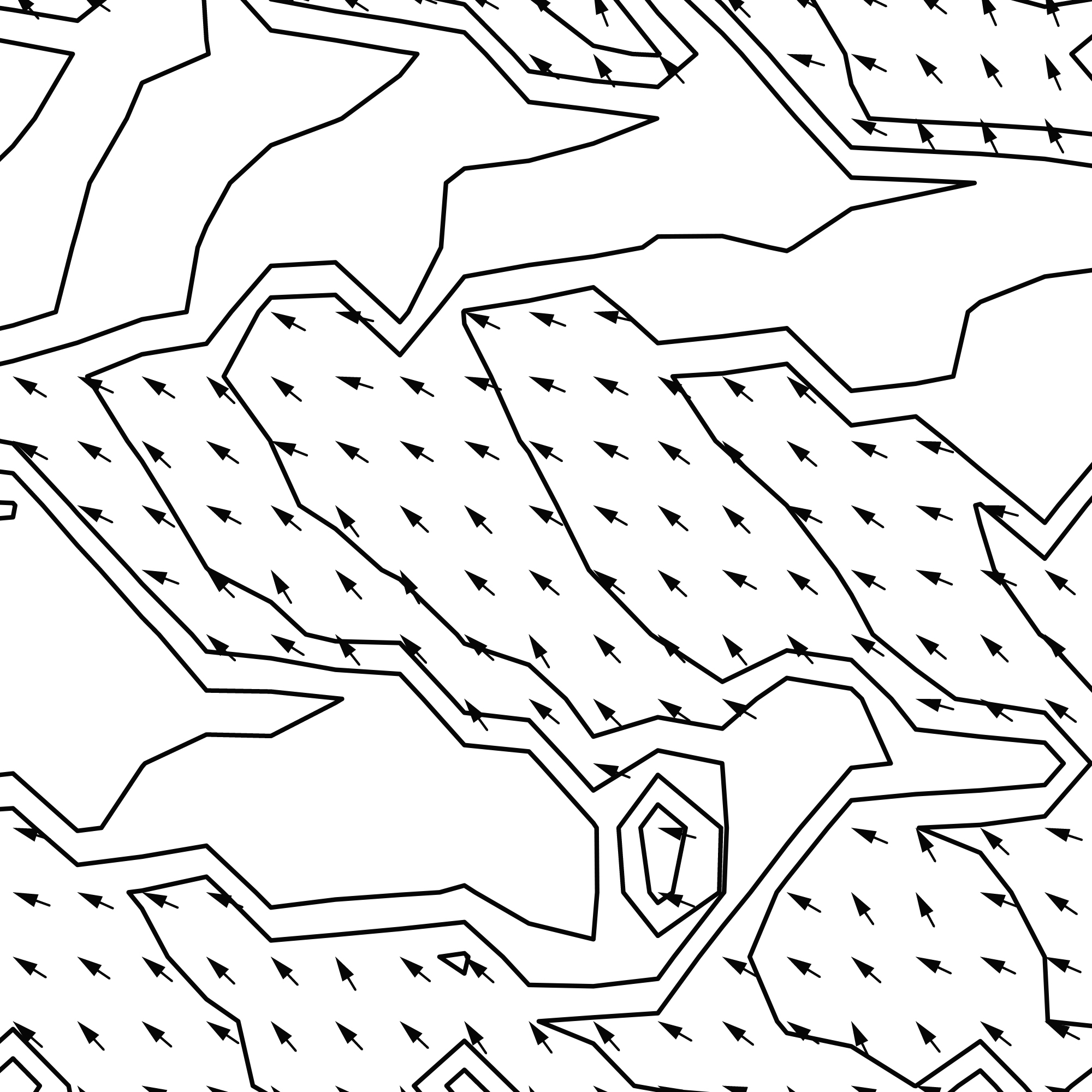
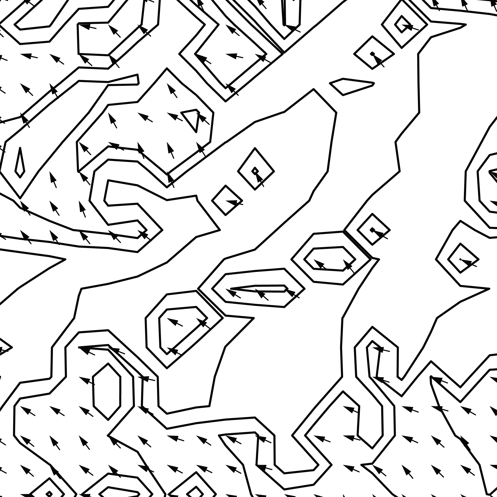
Creating a ‘Svalbard-TDIM’ (Terrain Design Information Model) for a specific Project/Geo-location & Territorial Extension; Clipping Data and extrapolating Terrain Attributes using SagaGIS and Terrain Analysis Modules; Creating an Attribute Table and storing calculated attributes to XY-coordinates/cells within a raster/grid/database; Exporting Geo-Data in different Formats to a CAD Import Folder Location; Creating of custom ‘3D-terrain-informed-planes’ orienting Geometry in normal direction to the terrain; decomposing a mesh; Accessing Attributes/Information such as: Solar Potential, Wind Exposition Index, Water Accumulation and Flow Direction Index, Topographic Wetness Index, Slope, Aspect,
Software: Rhinoceros3d & Grasshopper3d | Plug-ins and open-source components: http://www.food4rhino.com | analysistools | kangaroo-physics | elk | ladybug-tools | meshedit | mesh | DTM-digital-terrain-mesh | tt-toolbox | geco | fabtools | elefront | ghexcel-interface-excel | lands-design | heron | quelea-agent-based-design-grasshopper | scatter | bison
Natural-, Artificial- and Hybrid-Morphologies
The material, photographed
6 images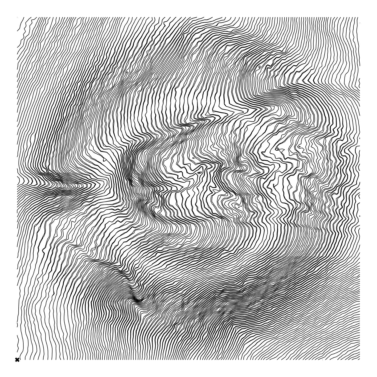
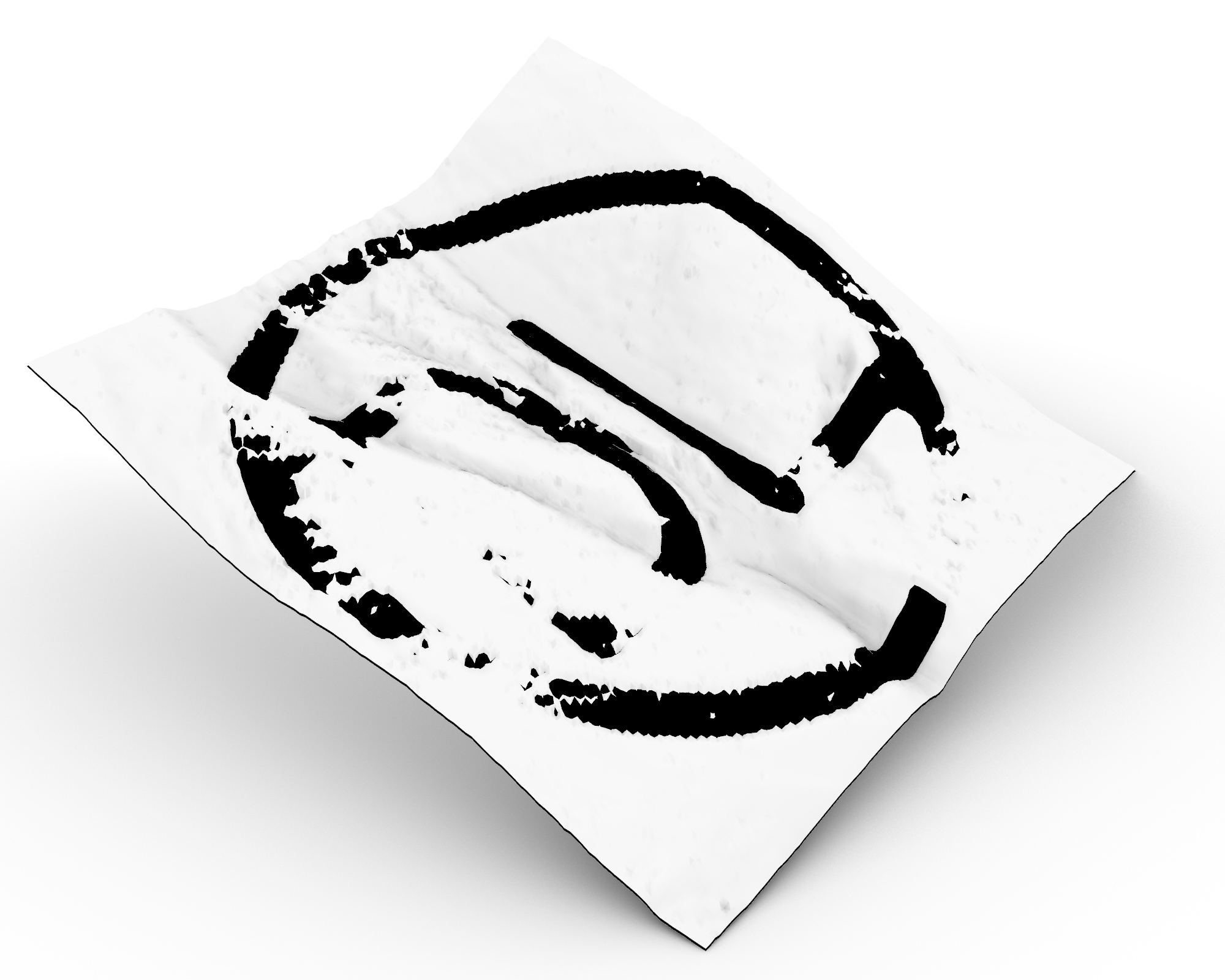
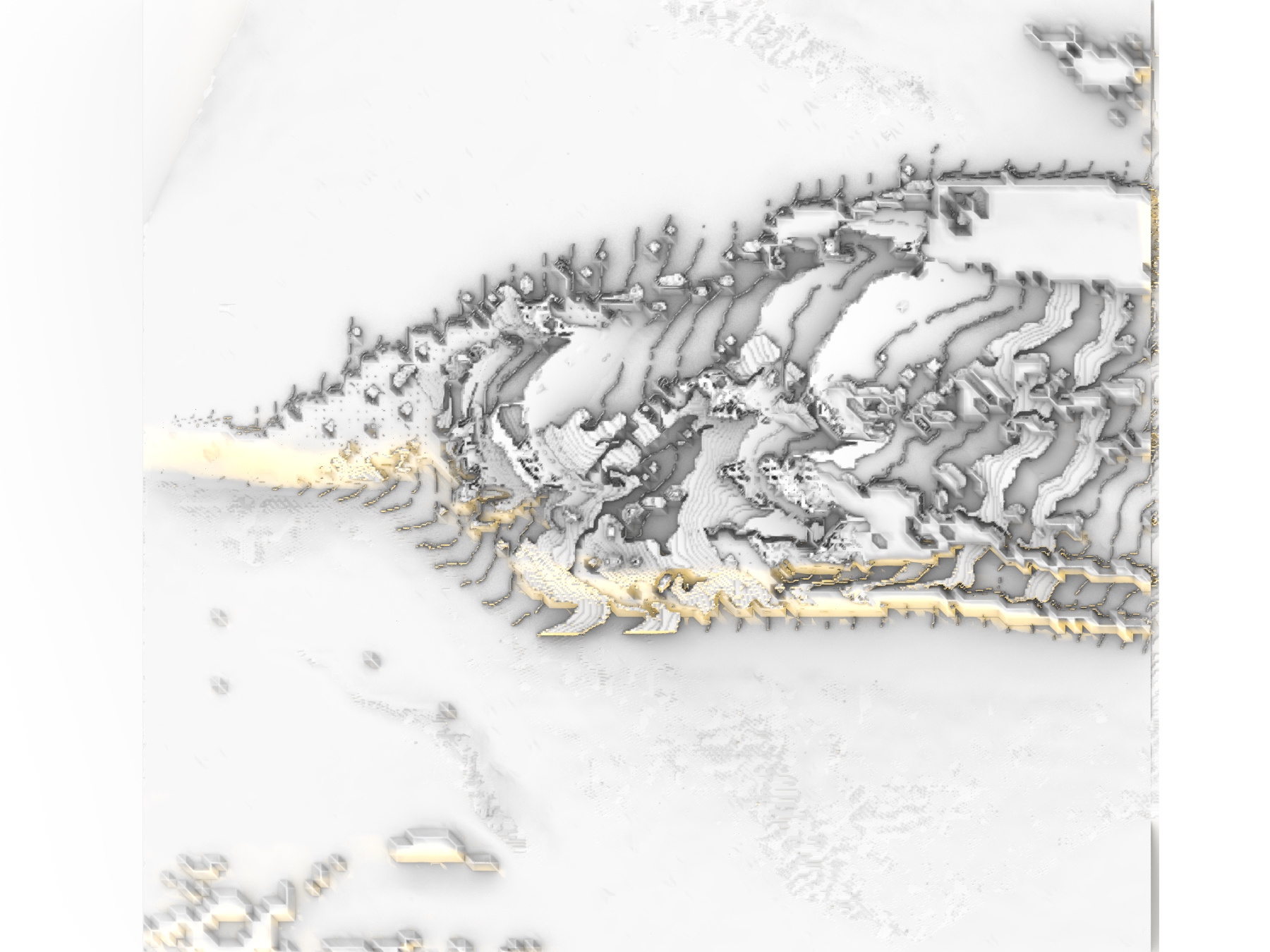


Process
11 screenshots
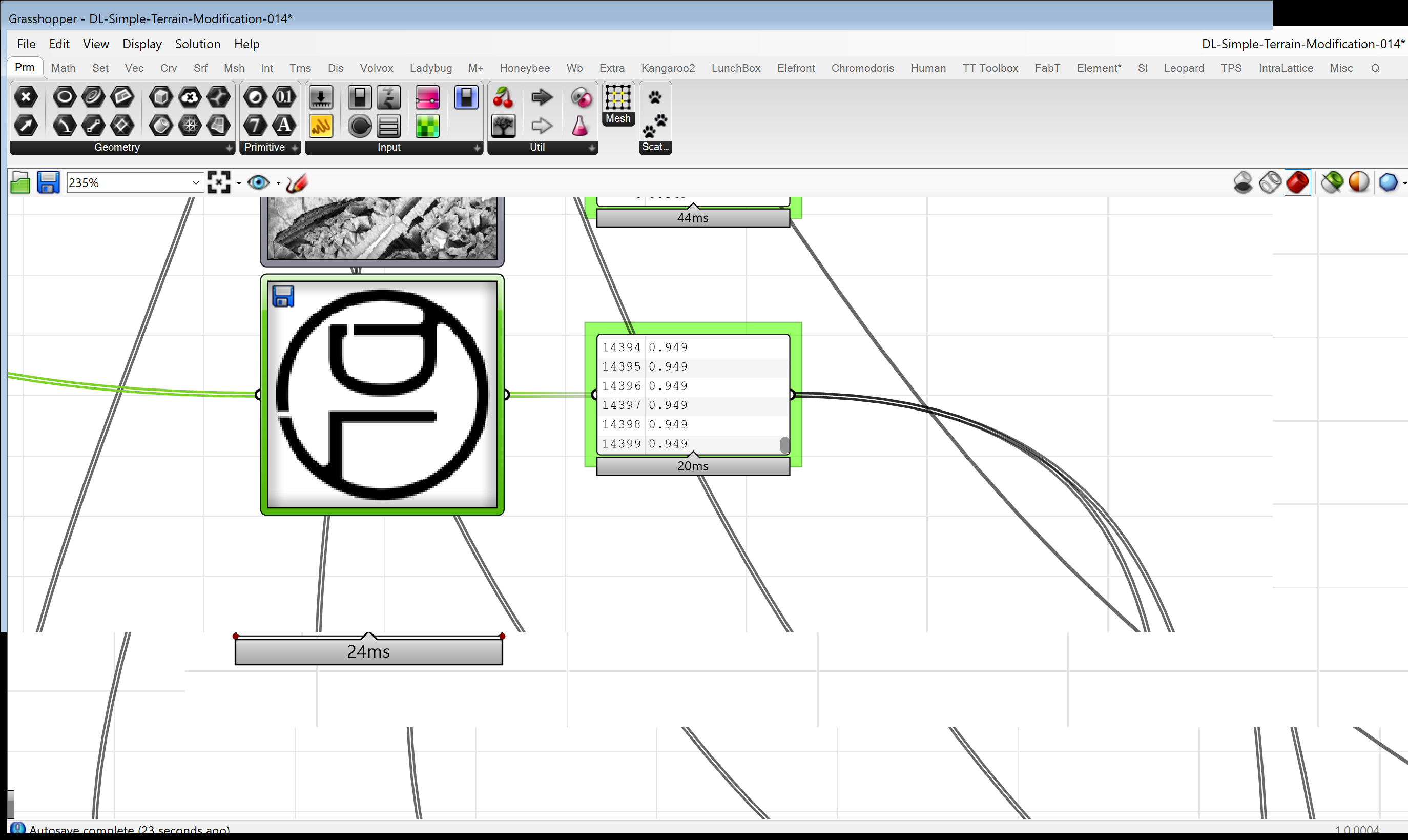
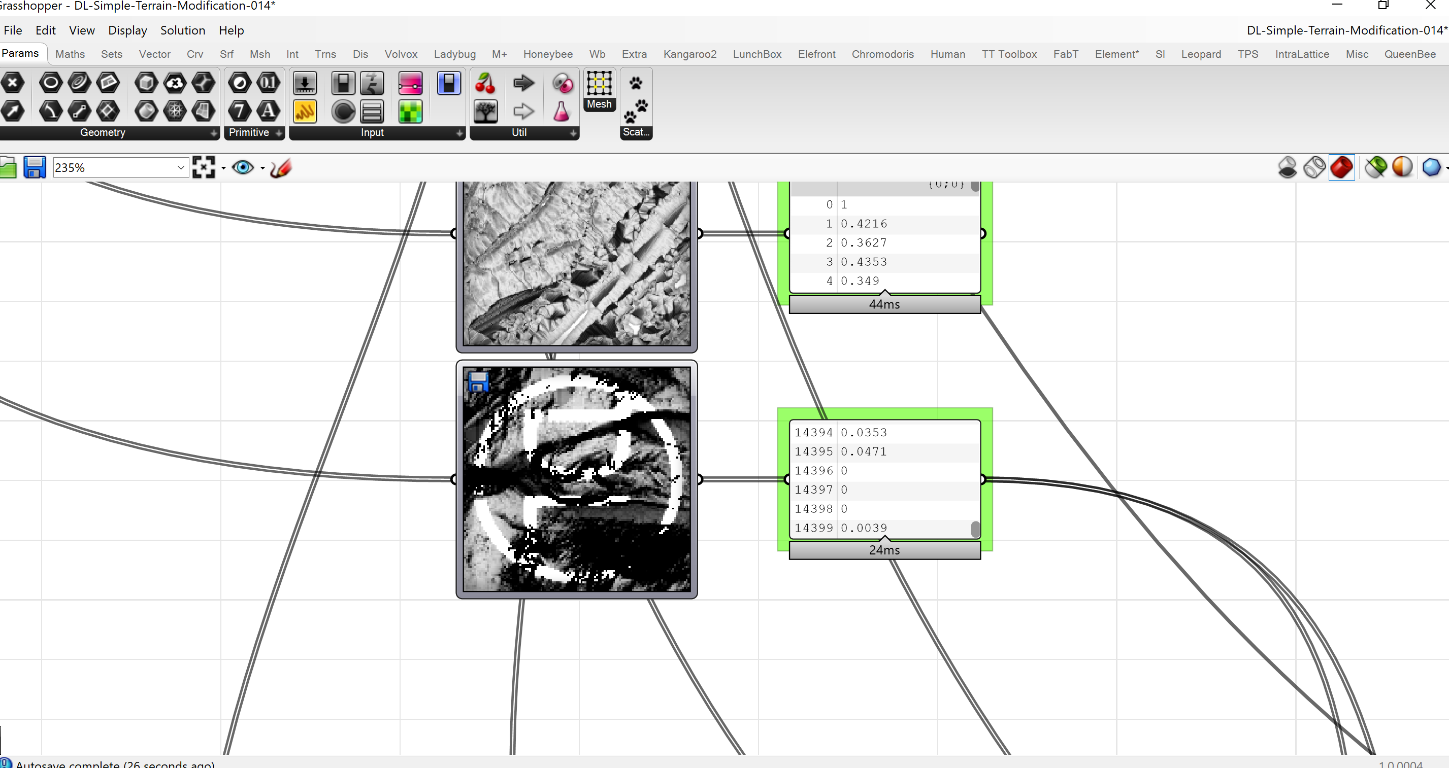

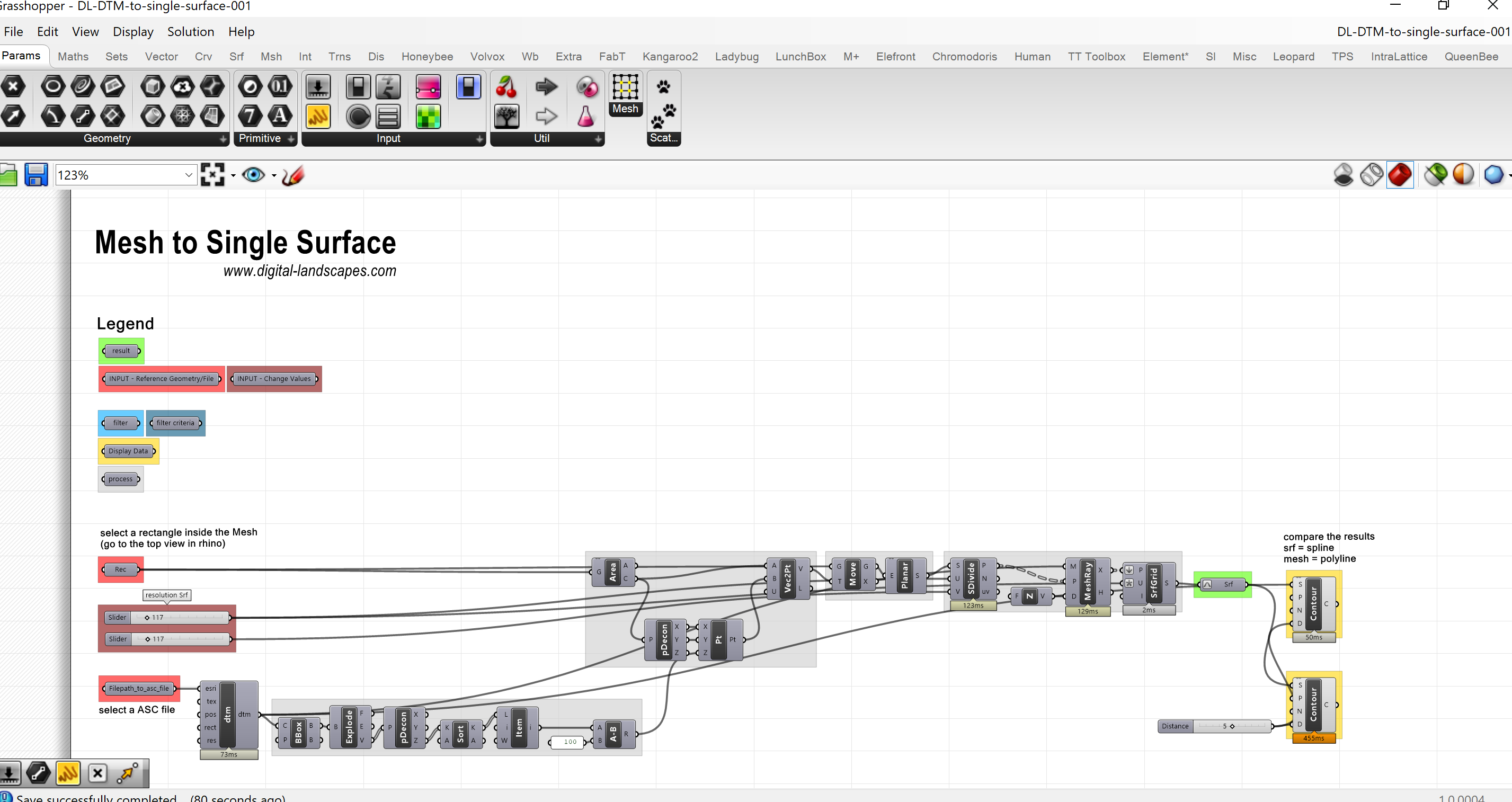

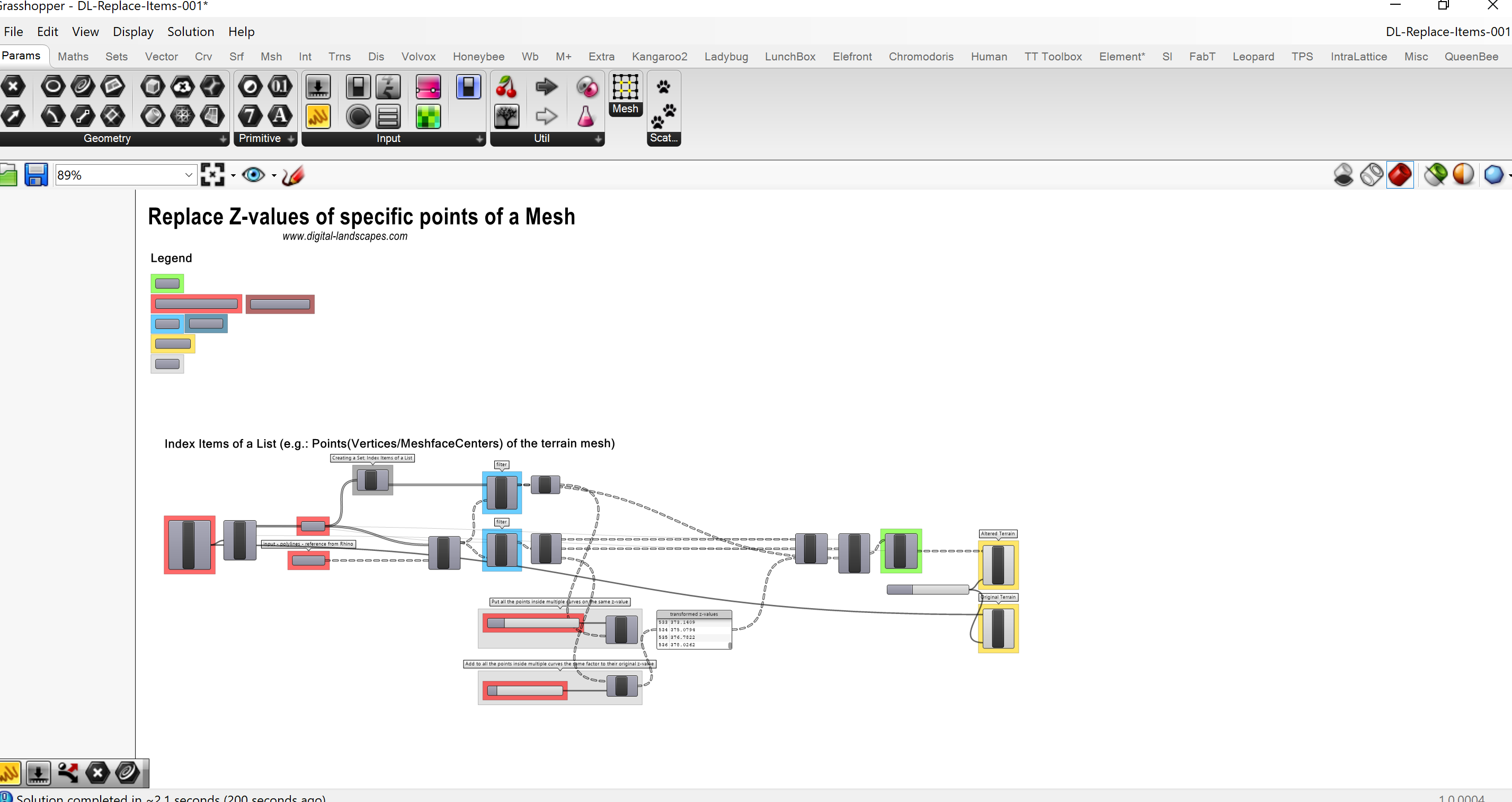


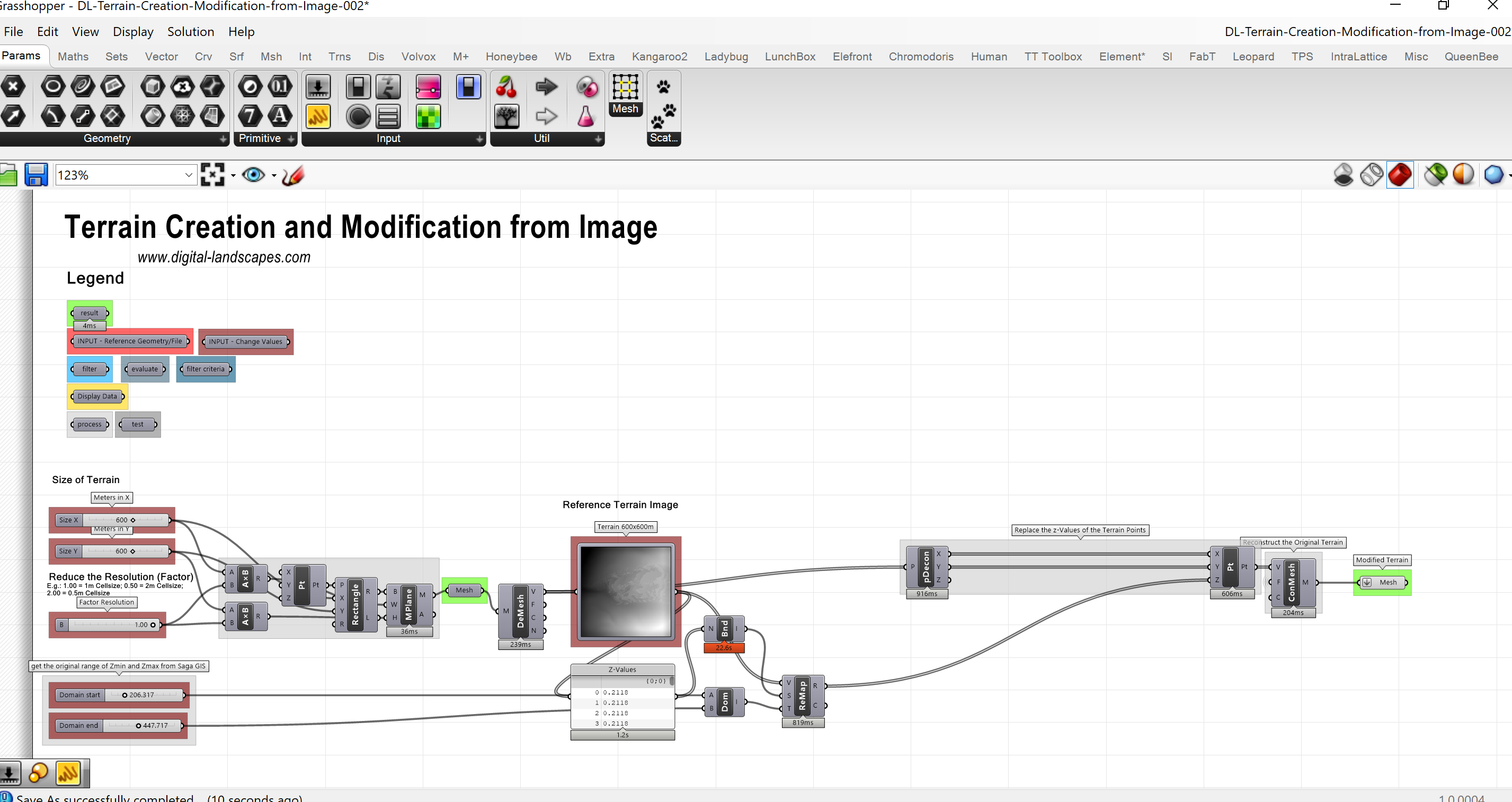
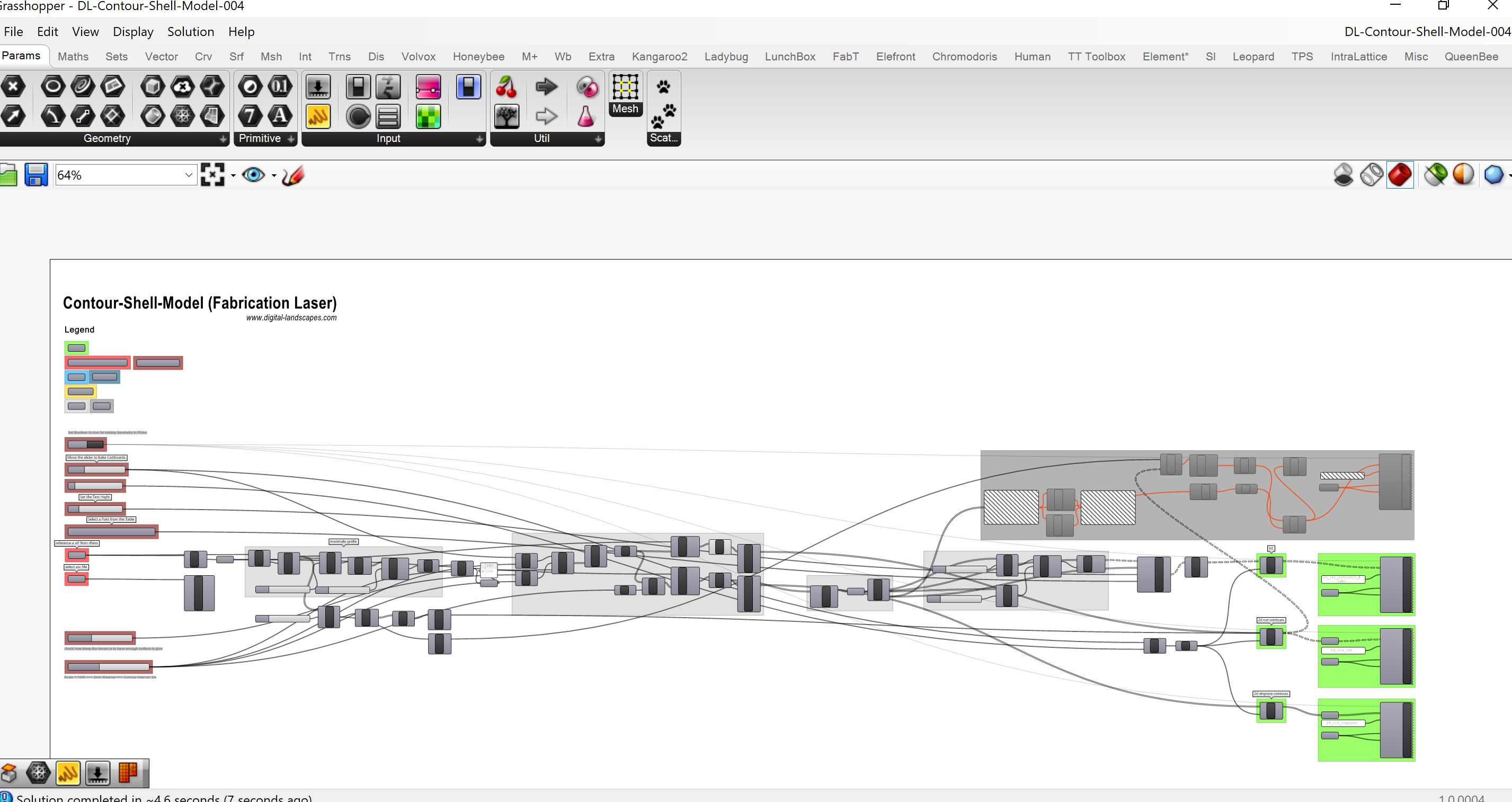
Grey until you hover — 11 software screenshots, kept as reference rather than shown as the work.
Scripts & files
9These Grasshopper definitions built stacked contour models by hand — the horizontal contour method was in use here long before it was automated, as far back as 2012. The same method now runs as DL Terrain Slicer. The transfer links have long expired; they are kept as a record of that lineage.