

Tools
Software tools developed at Digital Landscapes for terrain-based design and fabrication workflows. Built for teaching and studio use, and released as open source.
DL Terrain Slicer
Turns a GeoTIFF terrain model — or an OBJ mesh — into laser-ready DXF files for a stacked cardboard contour model, following the horizontal contour model (offset method). Runs in the browser or as a desktop application.
DL Terrain Diversity
A Terrain Design Information Model (TDIM): change the ground, and water, energy, landform and a modelled species assemblage answer in the same frame — with the grading plan, sections and GIS rasters derived from the model rather than drawn over it. A terrain analysis instrument. Not a prediction.
DL Terrain Mapper
A laser-cut map compiler: terrain and field observations become a drawing a machine can make, where each colour is a laser PASS rather than a style. Contours, hachures, a circle grid, hatching, sections and regions, composable on one sheet. The preview cannot lie — preview, SVG and DXF are rendered from one compiled object.
DL Splat Generator
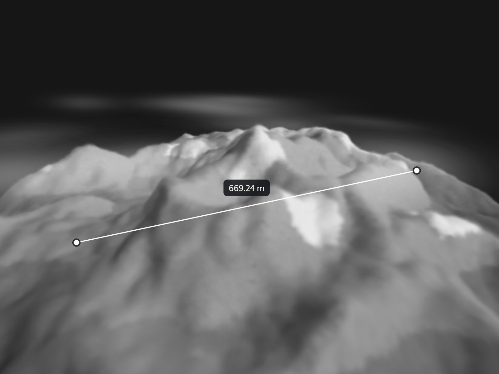
A viewer for Gaussian-splat scenes of landscapes and sites that measures rather than only shows — distances, heights, areas, sections, notes, stills. A reconstruction, not a survey: set the scale before measuring.